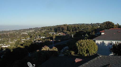
Palos Verdes beacon antenna pictures:
#1
View 'over-the-beacon-antenna' - towards the Santa Monica Bay. Coastline from King Harbor (Redondo Beach) N- N/W towards Santa Monica. The far right-hand side of the image is of Westwood/Wilshire District.
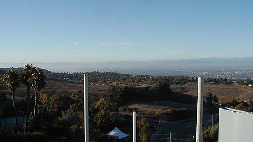
#2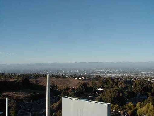
Above left edge of image is Westwood to Downtown LA. The LA smog is just obscuring the high-rise structures.
#3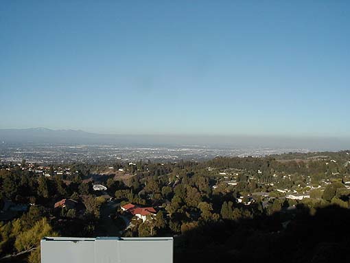
View from Downtown LA (basin) to N. Orange County.
#4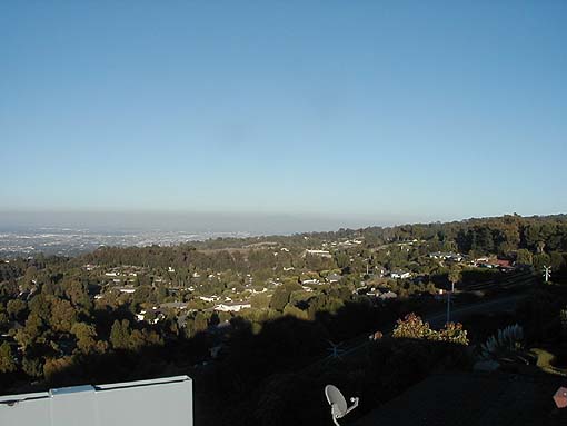
Easterly view towards Orange County from the PV beacon site. The radomes (FAA Surveillance Radar) are visible at the crest of the hill. The Long Beach harbor is just visible above the tree-line at the far right edge of the image. Santiago Peak is the 'bulge' (center of the image) just visible at the top of the smog-layer.
#5